


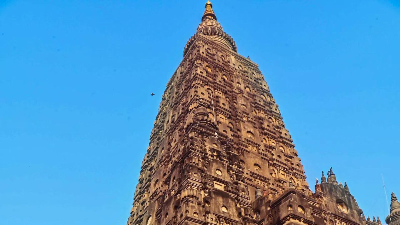
PATNA: A geospatial analysis utilising satellite images and ground surveys has found evidence of the presence of “huge architectural wealth” buried in the Mahabodhi temple complex and its surroundings in Bihar’s Bodh Gaya, officials said on Saturday.
The study has been carried out by Bihar Heritage Development Society, a wing of Art, Culture and Youth Department, in collaboration with Cardiff University in UK.
The Mahabodhi temple complex, a UNESCO World Heritage site, is one of the four holy areas related to the life of Lord Gautam Buddha. Bodh Gaya is a place where Lord Buddha is believed to have attained enlightenment.
“The study has unearthed evidence of the presence of archaeological treasure beneath the soil of the UNESCO World Heritage site and its surrounding areas…It’s a huge architectural wealth that needs further excavation,” the Art, Culture and Youth department’s additional chief secretary Harjot Kaur Bamhrah told a news agency.
The UK-based varsity and BHDS are cooperating in the project, ‘Archaeology on the footsteps of the Chinese traveller Xuanzang’.
Bengaluru-based National Institute of Advanced Studies faculty M B Rajni, one of the project members, studied satellite images of Mahabodhi temple and its surroundings and tried to correlate the findings with the description of ‘Xuanzang’, she said.
“BHDS in association with Cardiff University has been working on the multidisciplinary project on the archaeological trail of the travel of 7th-century Chinese translator monk, Xuanzang, in Bihar. The satellite images from the last several years show an alignment of structures to the north of the temple, buried underground,” said Bamhrah.
Significantly, the images show the shift of the river Niranjana from east to west.
“Let us remember that the Mahabodhi temple is west of the river, and the Sujata Stupa and several other archaeological remains are located east of the river. The monuments and other archaeological remains in the east of the river are now regarded to be independent of the Mahabodhi temple. But the latest finding shows that both the temple and the Sujata stupa along with other archaeological remains stood on the same river bank in the past,” she said.
Bamhrah said this is really “very significant”. “Thus, there is a strong possibility that the monuments and other archaeological remains, now east of the river, were a part of the Mahabodhi complex,” the official said.
BHDS plans to start “research to delimit the boundaries of the Mahabodhi complex in the light of these findings”, Bamhrah said. “Fresh ground-penetrating radar (GPR) survey, followed by excavations, will be undertaken to unravel the buried archaeological features shown by satellite images,” she added.